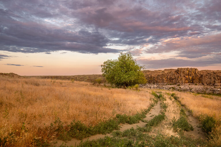
A broad range of recreation opportunities surround the Avista-operated hydroelectric facilities and reservoirs on the Spokane and Clark Fork rivers, and the utility company has launched a new digital recreation map that makes it easier for rafters, kayakers, campers, anglers and floaters to learn more about those different recreational access sites. There are photos for each site so you can see what the area and facilities look like, along with information on where each site is located and what facilities and recreation opportunities are available. Avista manages the operation of the dams with a balance that creates hydropower and provides recreational access and management of aquatic weeds, cultural resources, fisheries, wildlife and water quality. You can check out the new river maps at Avistautilities.com/rivermaps. //


