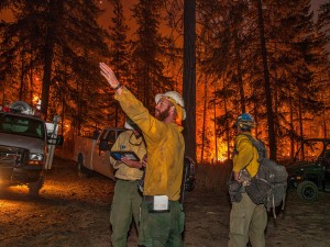
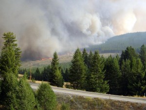
With hundreds of wildfires burning around the Pacific Northwest, including thousands of acres in Eastern Washington and North Idaho, the skies around Spokane look apocalyptic today. Fire fighters have died, homes have burned, communities have been evacuated, roads and huge swaths of public lands have been closed. While wildfires are a natural part of our forests, the size and number of blazes and extreme dry conditions make this fire storm an unprecedented natural disaster.
105 years ago, a series of catastrophic forest fires spread across Idaho, Montana, and Washington, culminating on August 20/21 in what is known as the “Big Blowup.” Read about the history of the 1910 fires here, and let’s hope that high winds predicted across Washington State don’t come close to having the same devastating impact. Pray or dance for rain and think wet thoughts. Please also do what you can to help the communities throughout the Inland Northwest that are suffering by making a donation to the Red Cross to help families in need or, if you’re up for some serious, real adventure for a cause, volunteering to help fight the fires.
Search for the Latest Trail, Forest, and Road Closures on InciWeb
If you are still hoping to get out and enjoy the outdoors, beware that there are a ton of constantly evolving forest, trail and road closures, and there are many other remote areas where small fires are burning that should be avoided by hikers and mountain bikers. Here is a sampling of popular recreation destinations that are partially or totally closed as of 8-21-15: the Kettle Crest Trail and pretty much all of the surrounding Colville National Forest lands; Parker Ridge area in the Selkirk Crest; the entire Wenaha Tucannon Wilderness; parts of the Scotchman Peaks; campgrounds along the north end of Lake Roosevelt; and huge chunks of the east slope of the Cascades in the Winthrop/Twisp/Lake Chelan area. If you are planning a trip and want to avoid closed areas, check out InciWeb Incident Information System where you can search by state for active fires and road/trail/forest closures: http://inciweb.nwcg.gov/0/.
Finding Less Smoky Places to Get Outside
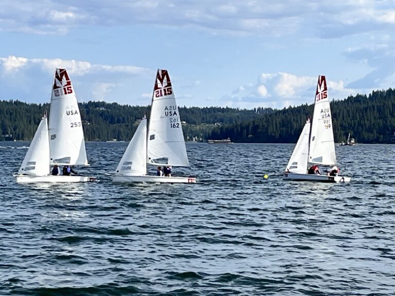
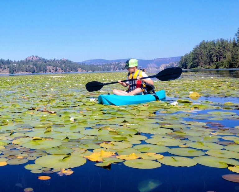
Finding smoke-free places to hike, bike, camp, paddle or fish might be challenging right now, especially if fires continue to expand, but it’s worth checking out the National Weather Service smoke conditions and modeling resources for around the West. Check it out on Facebook here: https://www.facebook.com/NWSBoise?fref=ts. Heading north to British Columbia looks to be a good bet for the time being. In addition to less smoky skies, the exchange rate (25% in our favor) is killer right now.
Be safe out there and please do what you can to lend a hand!