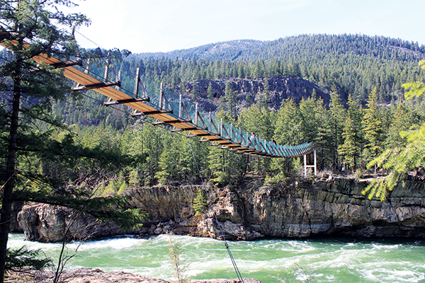
Trails
Hiking Areas
You don’t have to go far to find great hiking spots in Spokane. Dishman Hills and Riverside State Park both have miles of beautiful hiking trails. Or check out the Liberty Lake Loop Trail, Mt. Spokane State Park, Rimrock Canyon, or Iller Creek. Or, if you’re looking for something at a slower pace, check out the 37 mile paved Centennial Trail.
Equestrian
There are also several trails built to accommodate horses including a Conservation Futures property, Mount Spokane State Park, and more.
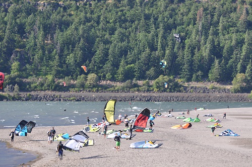
Paddle / Canoe / Raft / Kayak
“Paddle Routes of the Inland Northwest” by Rich Landers & Dan Hansen is a great guidebook detailing 50 flatwater and whitewater trips for canoes and kayaks.
Canoe or kayak down the Little Spokane River. The Spokane Parks and Recreation Department offers trips like this and they provide the guides, kayaks, floatation vests and transportation for a very reasonable price.
If you have your own canoe or kayak “put in” at Indian Painted Rocks and enjoy otters, beavers, birds. deer and an occasional moose. This is part of Riverside State Park Little Spokane Natural Area. Canoes and Kayaks can also be rented at REI or Mountain Gear.
Little Pend Oreille Chain Lakes is another popular spot in the Selkirk Mountains.
This is another great Spokane Parks and Recreation kayak trip location. Kootenai River in the Fall is gentle and wide. It is close to the Kootenai National Wildlife Refuge and a short distance from Bonner’s Ferry, Idaho.
Watch for the Great Gorge Whitewater Park on the Spokane River.
Biking
There are active advocates working to make our city even more bicycle friendly through the Spokane Bicycle Advisory Board and the Washington Bikes Spokane Regional Transit has a map to help you find routes through Spokane. SRT would have an address to write for a paper copy of this map. Here is the map online. Learn more about road biking in Spokane here.
There are also almost unlimited opportunities for mountain biking on public lands in the Inland Northwest. From rails-to-trails with soft surface and long distances, to abandoned roads and cow trails on BLM lands that include Escure Ranch and Swanson Lakes, to the downhill runs at Beacon Hill and Mount Spokane.
Cross Country Skiing
Snowphone report of current grooming conditions recorded daily: 238-4025
A seasonal parking permit and a groomed trail permit or a daily permit is required. Information on where to buy seasonal/groomed trail permits here: Mt. Spokane Access Information (They are available at REI on Monroe- extra service fee).
Snowshoeing
Mt. Spokane
A seasonal permit is required to park in any of the snowshoe parking lots that are plowed. Your Discover Pass will work if you are on the side of the road. You need a seasonal permit and a groomed trail permit to park in the snowmobile parking lot or the Selkirk Lodge Cross Country Parking Lot.
Snowshoe trails on Mt. Spokane start near the bottom near the entrance, at the big bend parking area and the snowmobile parking lot.
Spokane Parks and Recreation features snowshoe trips and will provide equipment for rental and sometimes transportation.
Mckinnick Trail - Sandpoint
This is a 3.5 mile trail (one-way) that “switchbacks” through 160 acres of huge rock outcroppings, grassy meadows, and old growth timber There are views of Lake Pend Oreille, Sandpoint, the Cabinet Mountains and the Pend Oreille River very early in the snowshoe.
The trail gets a lot of local use so is usually easy to find although as you get near the top it may be more challenging. The top boasts an elevation of 4300′ for a total elevation gain of 2150′.
The land was originally donated by Nicky Pleass in 1997 to the U.S. Forest Service in memory of her late husband Mick Pleass. Both Mick and Nicky envisioned a scenic trail directly above Sandpoint Idaho. They wanted to preserve this scenic land for future generations and as a gift to the community. In 2005 the trail was opened thanks to grants and partnerships between the Idaho Panhandle Resource Advisory Committee, the City of Sandpoint, Bonner County, Bureau of Land Management, U.S. Forest Service and The Friends of Mickinnick Trail.
Directions: From Sandpoint, take Hwy. 95 north 1.3 miles to Schweitzer Mountain Road; turn left and go 0.5 miles; turn right at the T junction and go 0.8 miles; turn left (at Schweitzer Sign) and go 0.5 miles to Woodland Drive; turn left and go 0.7 miles. The trailhead parking area is located on the right. There is also an outhouse there. Lots of good places to eat in Sandpoint after the hike. The drive is about 2 hours.
outdoors with children
Whether it be hiking, biking, snowshoeing, or exploring, there is a lot to do with kids in the outdoors. Check out some of the best options here: