Regional Trails–Hiking
Dishman Hills
This beautiful park just off city streets is an example of what can be done to protect the land. Tom Rogers, a high-school science teacher with the cooperation of Spokane County Parks, the Washington Department of Natural Resources and The Nature Conservancy devoted his life to saving this valuable resource for all of us.
As a natural area it is off limit to bicycles. It has many beautiful hiking trails through ravines, wildflowers and to seasonal lakes. The trail loops are good for family walks so bring the children to visit the ponds! Dogs welcome on leash. Visit Dishman Hills Conservancy for maps, a nature trail guide and information, Department of Natural Resources also has a brochure and map to download.
Riverside State Park/Little Spokane Natural Area
Hike beside the Spokane River on an old Railroad Grade through interesting geological formations and Pine Forest; Riverside State Park has miles of hiking trails.
The Little Spokane Natural Area follows the meandering Little Spokane River and also has ancient Indian rock pictographs. No pets or bicycles allowed here, it is a good place to observe wildlife. An excellent map can be purchased through the park office – 9711 W. Charles, Nine Mile Falls, WA 99026 Park Office: (509) 465-5064. REI also has maps of both Riverside State Park and Mt. Spokane State Park. The Riverside State Park Foundation website has more information.
Liberty Lake
The Liberty Lake Loop trail is not actually on the lake. This lovely trail follows Liberty Creek and lots of beaver activity to a grove of old Cedars. Past the Cedars, the trail climbs up to a waterfall and a vista of the Lake. At the top there is a shelter built by Scouts. From here the trail loops back down to connect to the original trail.The loop from the hiking parking lot is about 9 miles. For more information and directions visit Liberty Lake County Park. The Cedar Grove is a Conservation Futures property. More information can be found on the Washington Trail Association’s website.
Mt. Spokane State Park
Hiking through fall colors, looking for wildlife, or picking huckleberries in the Summer, here you will find hiking with some elevation. Winter cross-country trails also make good hiking trails when the snow is gone.
There are several peaks connected to Mt. Spokane that are great destinations, Mt. Kit Carson, Day Mountain and Quartz Mountain. The Friends of Mt. Spokane State Park have a trail guide and maps to download. An excellent trail map can also be purchased at REI (1125 N Monroe St Spokane, WA 99201 (509) 328-9900).
Rimrock / Palisades / Indian Canyon
This is also a Conservation Futures property. To the west of Spokane it offers great views. Rimrock Drive has been closed to traffic and is a perfect, almost flat spot to take the kids and dogs for a walk on the wide dirt road. There are some nice trails through the woods also and mountain bikers like it too. It is also popular with equestrians. The best place to start from is W. Greenwood RD. and S. Basalt Rd.- there is a parking area to the west out Rimrock by the closed gate. If you hike below junction on the southeast side of the road you might find Indian Canyon Falls just across the road from Indian Canyon Golf Course. For a map and more information about this area visit PalisadesNW.
In summer the falls are minimal. In the Winter with a couple of weeks below freezing the falls can be ice climbed.


Iller Creek to Rocks of Sharon (Big Rocks)
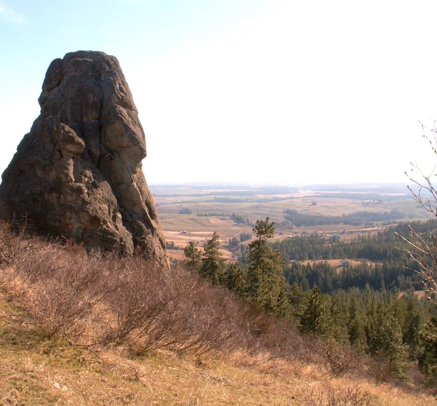
Washington Trails Association has been working on improving these trails from rutted and steep to switchbacks with easier grades for hiking or mountain biking. A land purchase has assured Big Rocks also known as Rocks of Sharon will be a part of this trail system. Big Rock in the Rocks of Sharon is the largest of the number of monoliths that protrude from a ridge that runs east from Tower Mountain. This collection of scenic boulders got their name in the old days when Spokanites ventured out of town for weekend picnics. The Sharon store, just south of Tower Mountain, was a stop on the electric railroad that ran from Spokane to Pullman, thus the name Rocks of Sharon. Adventurers would ride to that stop and hike up into the rocks for a day of sun and fresh air. While the store and the railroad are gone, the rocks and the name “Sharon” remain. Hiking up the ridge and back along the creek is somewhere between 5 – 6 miles depending on how you hike it. There is over 1,000 feet of elevation gain if you go all the way to the rocks.
To get to the Iller Creek Trailhead: Locate Dishman-Mica Road and Appleway. Take Dishman-Mica Road South and turn right on Schafer Road at the signal. Turn right at the stop sign on 44th Ave. Left on Farr Road. Right on Holman Rd. and follow to the end.
The ridge trail up to the rocks starts to the left and the trail up Iller Creek is straight ahead. To the right are trails on Tower Mountain. The Tower Mountain area is privately owned and is not included in the conservation area.
Here is a topo map of the area.
There is now a parking lot and south entry to Rocks of Sharon (Big Rocks) from Stevens Creek Road off the Palouse Highway thanks to the Dishman Hills Conservancy and Spokane County Parks. WTA is in the process of improving the trails but this is a shorter (steeper) route to the top.
Other Options
Of course there is always a stroll or a really long walk on The Centennial Trail. The Spokane Centennial Trail is a 37 mile paved path running along the Spokane River from the Idaho State line to Nine Mile Falls.
For more information go to:
